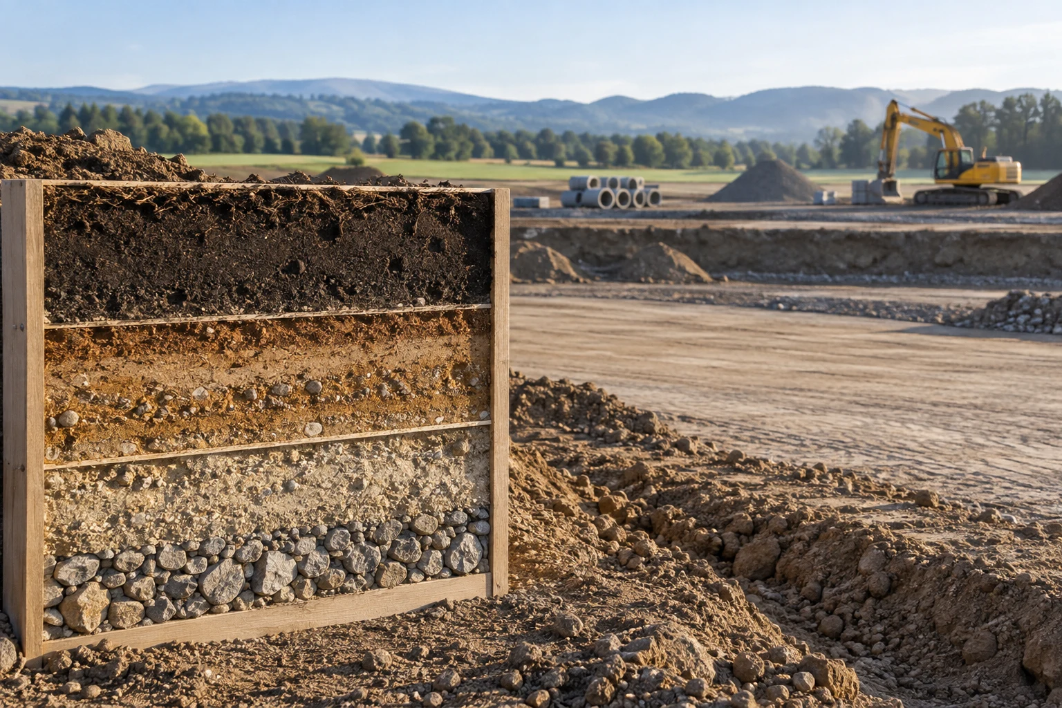
Understand the information
Identify the source, date and intended use of a map before interpreting its contents. Check which locations or records are represented and which are absent. A visually complete map can still show only a selected set of information. Keep the qualified assessment scope separate from the appearance of the graphic.
Make the next conversation clearer
Label uncertainty and use the project’s approved reference conventions. Ask the responsible reviewer what the map supports and what additional evidence is needed. Avoid presenting an interpolated or illustrative area as an established condition without the appropriate basis. A map is useful when it helps readers follow the evidence, not when its polish makes the limitations harder to notice.
A practical briefing checklist
- Identify source and purpose.
- Distinguish shown and unexamined areas.
- Label illustrative information.
Technical learning resources
Educational reading about records and communication. Actual investigation, inspection, design and environmental assessment require appropriately qualified professionals and the applicable project procedures.